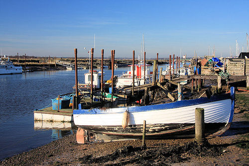
(adding photo) |
|||
| Line 19: | Line 19: | ||
=== Sustainable transport === | === Sustainable transport === | ||
'''Waterways''': The Broads, a well known network of rivers and lakes, is located towards [[Norfolk]]'s east coast, extending south into Suffolk. The area has the status of a National Park and is protected by the Broads Authority. <ref>[[wikipedia:Norfolk]]</ref> - [http://www.broads-society.org.uk/ The Broads Society] - [http://www.broads-authority.gov.uk/ Broads Authority] | '''Waterways''': The Broads, a well known network of rivers and lakes, is located towards [[Norfolk]]'s east coast, extending south into Suffolk. The area has the status of a National Park and is protected by the Broads Authority. <ref>[[wikipedia:Norfolk]]</ref> - [http://www.broads-society.org.uk/ The Broads Society] - [http://www.broads-authority.gov.uk/ Broads Authority] - [[wikipedia:River Stour Trust]] | ||
== News and comment == | == News and comment == | ||
Revision as of 12:09, 15 February 2014

Sustainability initiatives
- Green Living Centre, Ipswich
- Green Suffolk, Creating the Greenest County
- Sustainable Bungay
- Transition Ipswich
- Transition Nayland
Campaigns
Initiatives by topic
Biodiversity
Sustainable transport
Waterways: The Broads, a well known network of rivers and lakes, is located towards Norfolk's east coast, extending south into Suffolk. The area has the status of a National Park and is protected by the Broads Authority. [1] - The Broads Society - Broads Authority - wikipedia:River Stour Trust
News and comment
2009
Suffolk coastal sites to be assessed for possible release of white-tailed eagles, [2] September 24
Interwiki links
Wikipedia: Suffolk
References