(A screenshot from QGIS showing bus network route upgrades. (I took this screenshot).) |
|||
| Line 1: | Line 1: | ||
== Summary == | == Summary == | ||
A screenshot from QGIS showing bus network route upgrades. (I took this screenshot). | A screenshot from QGIS showing bus network route upgrades as part of the [[OSSTIP]] action-research project. | ||
(I [[User:PatSunter]] took this screenshot, it is based on my own work :- I thus retain copyright of the image, but make it available here on Appropedia under a CC-BY-SA license). | |||
== Licensing == | == Licensing == | ||
{{CC-by-sa-3.0}} | {{CC-by-sa-3.0}} | ||
Revision as of 04:06, 11 March 2015
Summary
A screenshot from QGIS showing bus network route upgrades as part of the OSSTIP action-research project.
(I User:PatSunter took this screenshot, it is based on my own work :- I thus retain copyright of the image, but make it available here on Appropedia under a CC-BY-SA license).
Licensing
File history
Click on a date/time to view the file as it appeared at that time.
| Date/Time | Thumbnail | Dimensions | User | Comment | |
|---|---|---|---|---|---|
| current | 02:06, 11 March 2015 | 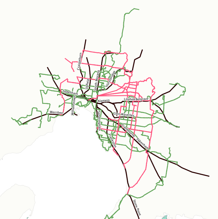 | 702 × 708 (157 KB) | PatSunter (talk | contribs) | A screenshot from QGIS showing bus network route upgrades. (I took this screenshot). |
You cannot overwrite this file.
File usage
The following page uses this file: