
Size of this preview: 800 × 367 pixels. Other resolution: 2,584 × 1,184 pixels.
Original file (2,584 × 1,184 pixels, file size: 498 KB, MIME type: image/png)
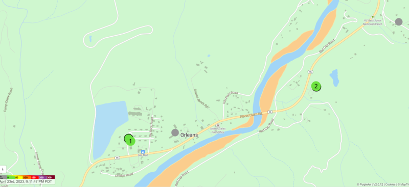
This is a screenshot from the PurpleAir real time map of Orleans, CA in April 2023. The image displays that there are multiple indoor and outdoor sensors currently deployed.
File history
Click on a date/time to view the file as it appeared at that time.
| Date/Time | Thumbnail | Dimensions | User | Comment | |
|---|---|---|---|---|---|
| current | 23:03, 10 May 2023 | | 2,584 × 1,184 (498 KB) | Lorelei (talk | contribs) | Uploaded a work by Map published by PurpleAir, screenshot by Lorelei Walker from https://map.purpleair.com/1/mAQI/a10/p604800/cC0#14.3/41.30192/-123.53969 with UploadWizard |
You cannot overwrite this file.
File usage
The following page uses this file: