Size of this preview: 800 × 480 pixels. Other resolution: 1,918 × 1,150 pixels.
Original file (1,918 × 1,150 pixels, file size: 3.15 MB, MIME type: image/png)
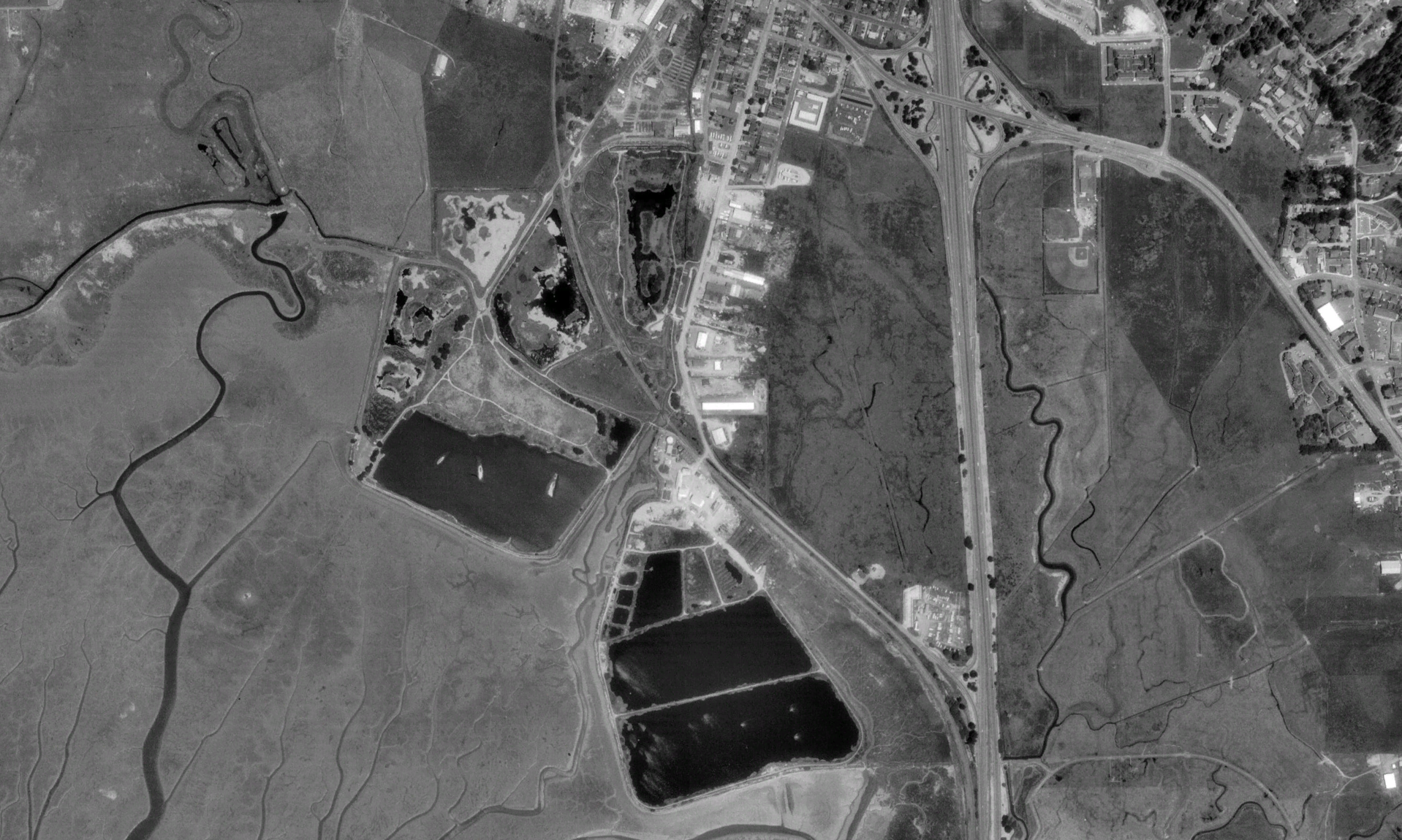
Map of the Arcata Marsh using USGS Digital Ortho data.
File history
Click on a date/time to view the file as it appeared at that time.
| Date/Time | Thumbnail | Dimensions | User | Comment | |
|---|---|---|---|---|---|
| current | 05:16, 1 March 2008 | | 1,918 × 1,150 (3.15 MB) | Jthiller (talk | contribs) | Map of the Arcata Marsh using USGS Digital Ortho data. |
You cannot overwrite this file.
File usage
The following page uses this file: