(adding section) |
m (→Cycling) |
||
| Line 6: | Line 6: | ||
{{#widget:YouTube|id=wroSpWtYZM8}} | {{#widget:YouTube|id=wroSpWtYZM8}} | ||
[[wikipedia:Bristol and Bath Railway Path]] | Bath is on National Cycle Route 4, with one of Britain's first cycleways, the [[wikipedia:Bristol and Bath Railway Path|Bristol & Bath Railway Path]], to the west, and an eastern route toward [[London]] on the canal towpath. | ||
=== Open spaces === | === Open spaces === | ||
Revision as of 14:57, 24 May 2014

Initiatives by topic
Cycling
Error in widget YouTube: Unable to load template 'wiki:YouTube'
Bath is on National Cycle Route 4, with one of Britain's first cycleways, the Bristol & Bath Railway Path, to the west, and an eastern route toward London on the canal towpath.
Open spaces
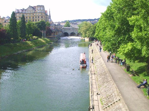
Wikipedia: Bath, Parks: The city has several public parks.
Sustainable energy
News and comment
Interwiki links
Wikipedia: Bath
External links
References
- ↑ []