Size of this preview: 454 × 599 pixels. Other resolution: 1,275 × 1,683 pixels.
Original file (1,275 × 1,683 pixels, file size: 209 KB, MIME type: image/jpeg)
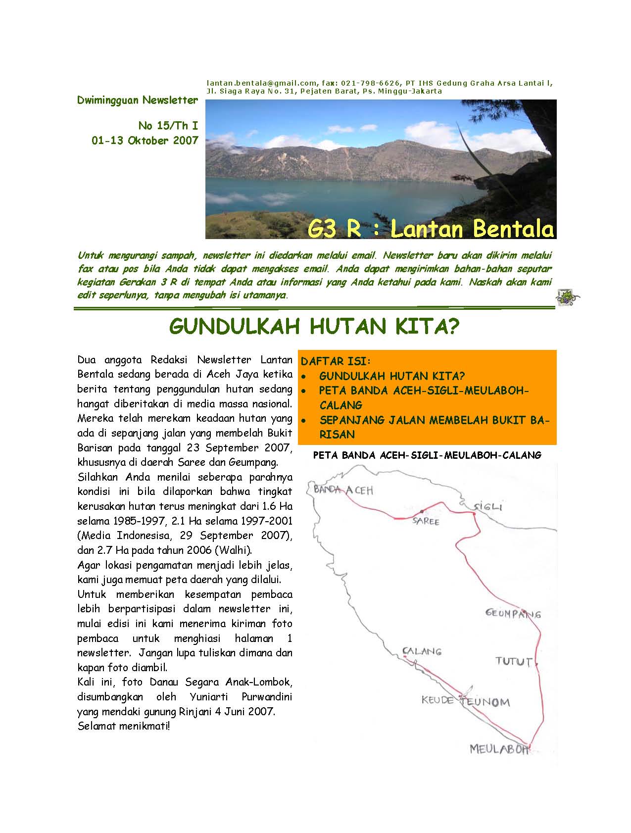
Map of a trip from Banda Aceh to Calang through Saree, Sigli and Meulaboh, 23rd September 2007.
File history
Click on a date/time to view the file as it appeared at that time.
| Date/Time | Thumbnail | Dimensions | User | Comment | |
|---|---|---|---|---|---|
| current | 16:00, 10 July 2011 | | 1,275 × 1,683 (209 KB) | Lantan bentala (talk | contribs) | Map of a trip from Banda Aceh to Calang through Saree, Sigli and Meulaboh, 23rd September 2007. |
You cannot overwrite this file.
File usage
The following page uses this file: