No higher resolution available.
Journalism_330_Waitaki_map.png (300 × 416 pixels, file size: 8 KB, MIME type: image/png)
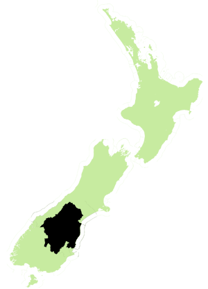
Map of the Waitaki District in New Zealand
File history
Click on a date/time to view the file as it appeared at that time.
| Date/Time | Thumbnail | Dimensions | User | Comment | |
|---|---|---|---|---|---|
| current | 22:27, 22 February 2010 | | 300 × 416 (8 KB) | KaciPoor (talk | contribs) | Map of the Waitaki District in New Zealand |
You cannot overwrite this file.
File usage
The following file is a duplicate of this file (more details):
- File:Waitaki electorate 2008.png from Wikimedia Commons
The following page uses this file: