m (→Biodiversity: external link) |
|||
| (13 intermediate revisions by the same user not shown) | |||
| Line 1: | Line 1: | ||
[[File:| | {| cellpadding="8" cellspacing="0" | ||
|- valign="top" | |||
| style="background:white" width="52%"| | |||
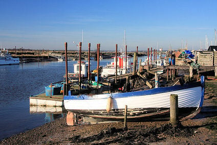
[[File:Southwold Harbour - geograph.org.uk.jpg|424px]]<br clear=left> | |||
== Sustainability initiatives == | == Sustainability initiatives == | ||
*[http://greenlivingcentre.org.uk/ Green Living Centre], Ipswich | *[http://greenlivingcentre.org.uk/ Green Living Centre], Ipswich | ||
| Line 15: | Line 18: | ||
=== Biodiversity === | === Biodiversity === | ||
[http://www.suffolkwildlifetrust.org/ Suffolk Wildlife Trust] | [http://felixstowecommunitynaturereserve.webs.com/ Felixstowe's Community Nature Reserve], & on [https://www.facebook.com/FelixstoweCommunityNatureReserve facebook] - [http://www.suffolkwildlifetrust.org/ Suffolk Wildlife Trust] | ||
=== | === Food activism === | ||
'''Waterways''': The Broads, a well known network of rivers and lakes, is located towards [[Norfolk]]'s east coast, extending south into Suffolk. The area has the status of a National Park and is protected by the Broads Authority. <ref>[[wikipedia:Norfolk]]</ref> - [http://www.broads-society.org.uk/ The Broads Society] - [http://www.broads-authority.gov.uk/ Broads Authority] | [http://www.the-oak-tree.co.uk/ Oak Tree Low Carbon Farm], in the parish of Rushmere St Andrew to the East of Ipswich. | ||
=== Sustainable transport activism === | |||
'''Walking''': Wikipedia: [[wikipedia:Category:Footpaths in Suffolk|Footpaths in Suffolk]] (category) | |||
'''Waterways''': The Broads, a well known network of rivers and lakes, is located towards [[Norfolk]]'s east coast, extending south into Suffolk. The area has the status of a National Park and is protected by the Broads Authority. <ref>[[wikipedia:Norfolk]]</ref> - [http://www.broads-society.org.uk/ The Broads Society] - [http://www.broads-authority.gov.uk/ Broads Authority] - [[wikipedia:River Stour Trust]] | |||
=== Trees, woodland and forest === | |||
[[wikipedia:Green Light Trust]] | |||
| style="background:khaki" | | |||
__TOC__ | |||
== News and comment == | == News and comment == | ||
<ref>[]</ref> | |||
'''2106''' | |||
The Nature Reserve Built Through Facebook, Jul/Aug <ref>[http://www.resurgence.org/magazine/article4671-the-nature-reserve-built-through-facebook.html resurgence.org]</ref> | |||
'''2009''' | |||
Suffolk coastal sites to be assessed for possible release of white-tailed eagles, <ref>[http://www.naturalengland.org.uk/about_us/news/2009/240909.aspx Natural England]</ref> September 24 | |||
== Interwiki links == | == Interwiki links == | ||
| Line 28: | Line 52: | ||
{{ | {{scaendmenu}} | ||
[[category:Sustainable community action]] | [[category:Sustainable community action]] | ||
[[category:East of England]] | [[category:East of England]] | ||
'''References''' | '''References''' | ||
{{Attrib sca ref|Suffolk}} | |||
<references/> | <references/> | ||
|} | |||
Revision as of 19:48, 29 December 2016
Sustainability initiatives
CampaignsInitiatives by topicBiodiversityFelixstowe's Community Nature Reserve, & on facebook - Suffolk Wildlife Trust Food activismOak Tree Low Carbon Farm, in the parish of Rushmere St Andrew to the East of Ipswich. Sustainable transport activismWalking: Wikipedia: Footpaths in Suffolk (category) Waterways: The Broads, a well known network of rivers and lakes, is located towards Norfolk's east coast, extending south into Suffolk. The area has the status of a National Park and is protected by the Broads Authority. [1] - The Broads Society - Broads Authority - wikipedia:River Stour Trust Trees, woodland and forest |
News and comment2106 The Nature Reserve Built Through Facebook, Jul/Aug [2] 2009 Suffolk coastal sites to be assessed for possible release of white-tailed eagles, [3] September 24 Interwiki linksWikipedia: Suffolk
References Template:Attrib sca ref |
