(A screenshot from QGIS showing bus network route upgrades. (I took this screenshot).) |
Sophivorus (talk | contribs) m (Text replacement - "== ?Summary ?==↵([^=]+)↵+== ?Licensing ?==↵{{(.*)}}" to "$1 {{File data | license = {{subst:uc:$2}} }}") |
||
| (One intermediate revision by one other user not shown) | |||
| Line 1: | Line 1: | ||
A screenshot from QGIS showing bus network route upgrades. (I took this screenshot). | A screenshot from QGIS showing bus network route upgrades. | ||
{{CC- | (I [[User:PatSunter]] took this screenshot, it is based on my own work :- I thus retain copyright of the image, but make it available here on Appropedia under a CC-BY-SA license). | ||
{{File data | |||
| license = CC-BY-SA-3.0 | |||
}} | |||
Latest revision as of 13:27, 18 December 2022
A screenshot from QGIS showing bus network route upgrades.
(I User:PatSunter took this screenshot, it is based on my own work :- I thus retain copyright of the image, but make it available here on Appropedia under a CC-BY-SA license).
File history
Click on a date/time to view the file as it appeared at that time.
| Date/Time | Thumbnail | Dimensions | User | Comment | |
|---|---|---|---|---|---|
| current | 01:47, 11 March 2015 | 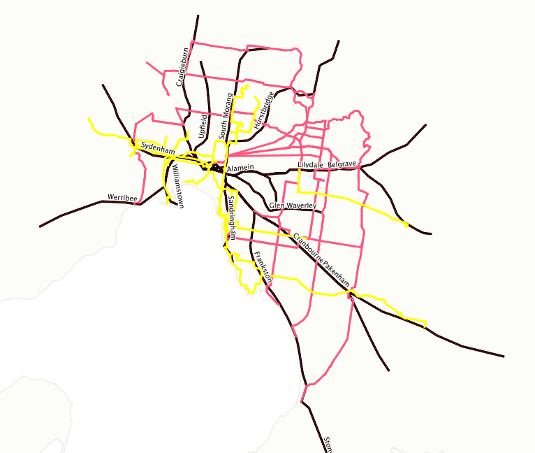 | 766 × 648 (130 KB) | PatSunter (talk | contribs) | A screenshot from QGIS showing bus network route upgrades. (I took this screenshot). |
You cannot overwrite this file.
File usage
The following page uses this file: