This special page shows all uploaded files.
| Date | Name | Thumbnail | Size | Description | Versions |
|---|---|---|---|---|---|
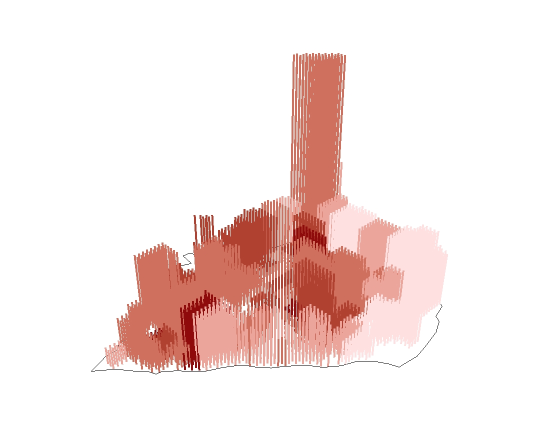
| 23:36, 22 May 2011 | Tra Vinh.jpg (file) |  |
172 KB | 1 | |
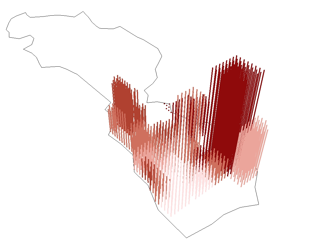
| 23:35, 22 May 2011 | Tien Giang.jpg (file) |  |
240 KB | 1 | |
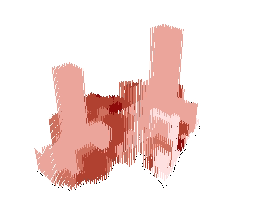
| 23:34, 22 May 2011 | Soc Trang.jpg (file) |  |
188 KB | 1 | |
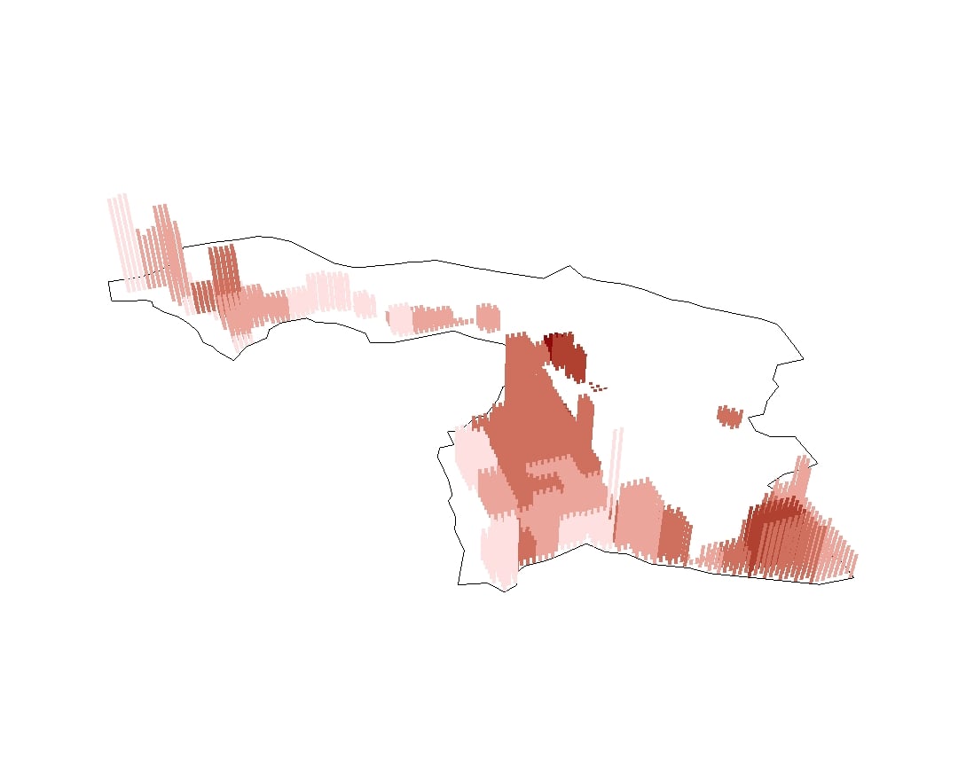
| 23:33, 22 May 2011 | Kien Giang.jpg (file) |  |
121 KB | 1 | |
| 23:33, 22 May 2011 | Ca Mau.jpg (file) |  |
144 KB | 1 | |
| 23:31, 22 May 2011 | Ben Tre.jpg (file) |  |
287 KB | 1 | |
| 23:30, 22 May 2011 | Ba Ria Vung Tau.jpg (file) |  |
167 KB | 1 | |
| 23:30, 22 May 2011 | Bac Lieu.jpg (file) |  |
146 KB | 1 | |
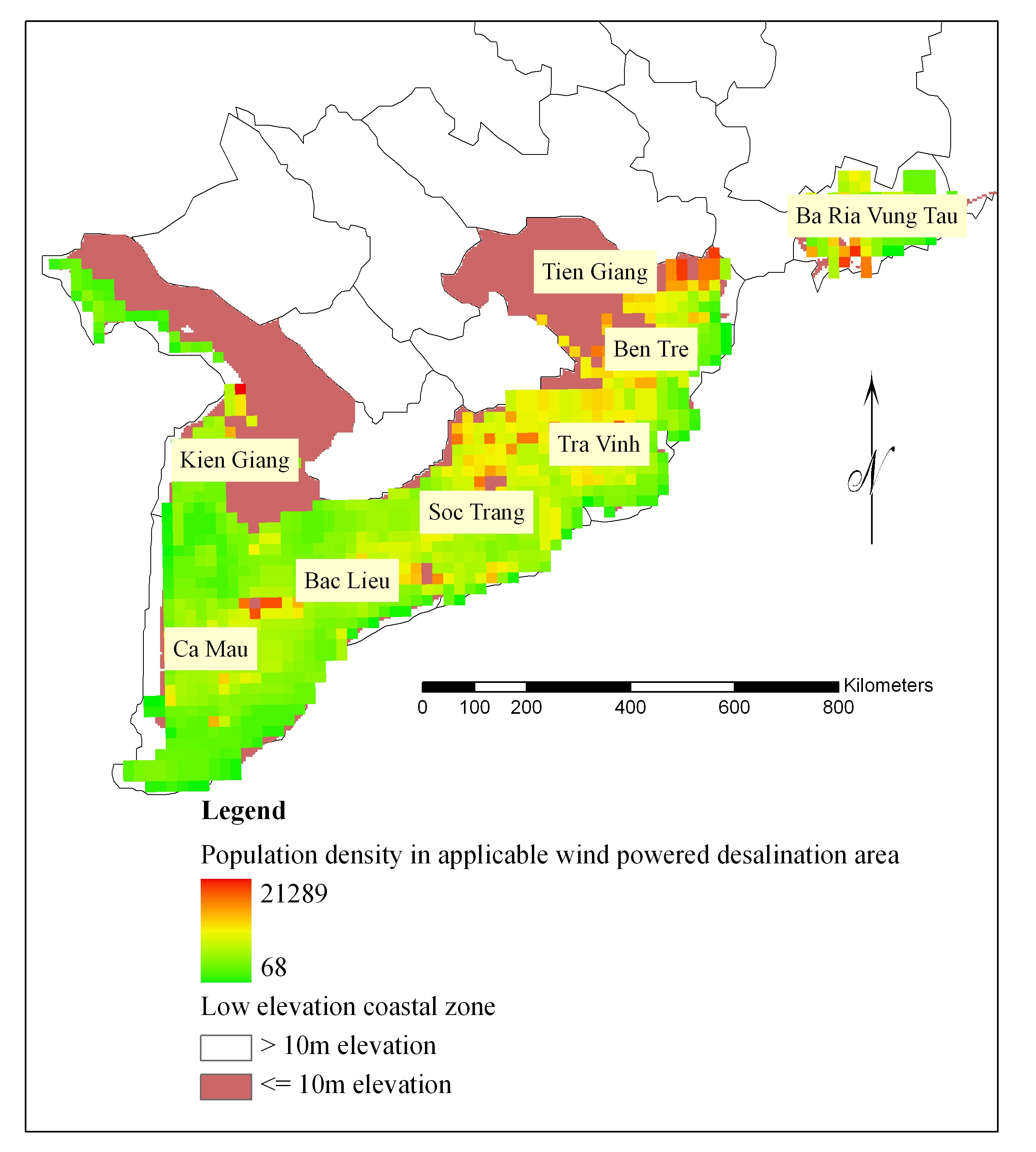
| 23:20, 22 May 2011 | Areas with feasible community based wind desalination.jpg (file) |  |
880 KB | 1 | |
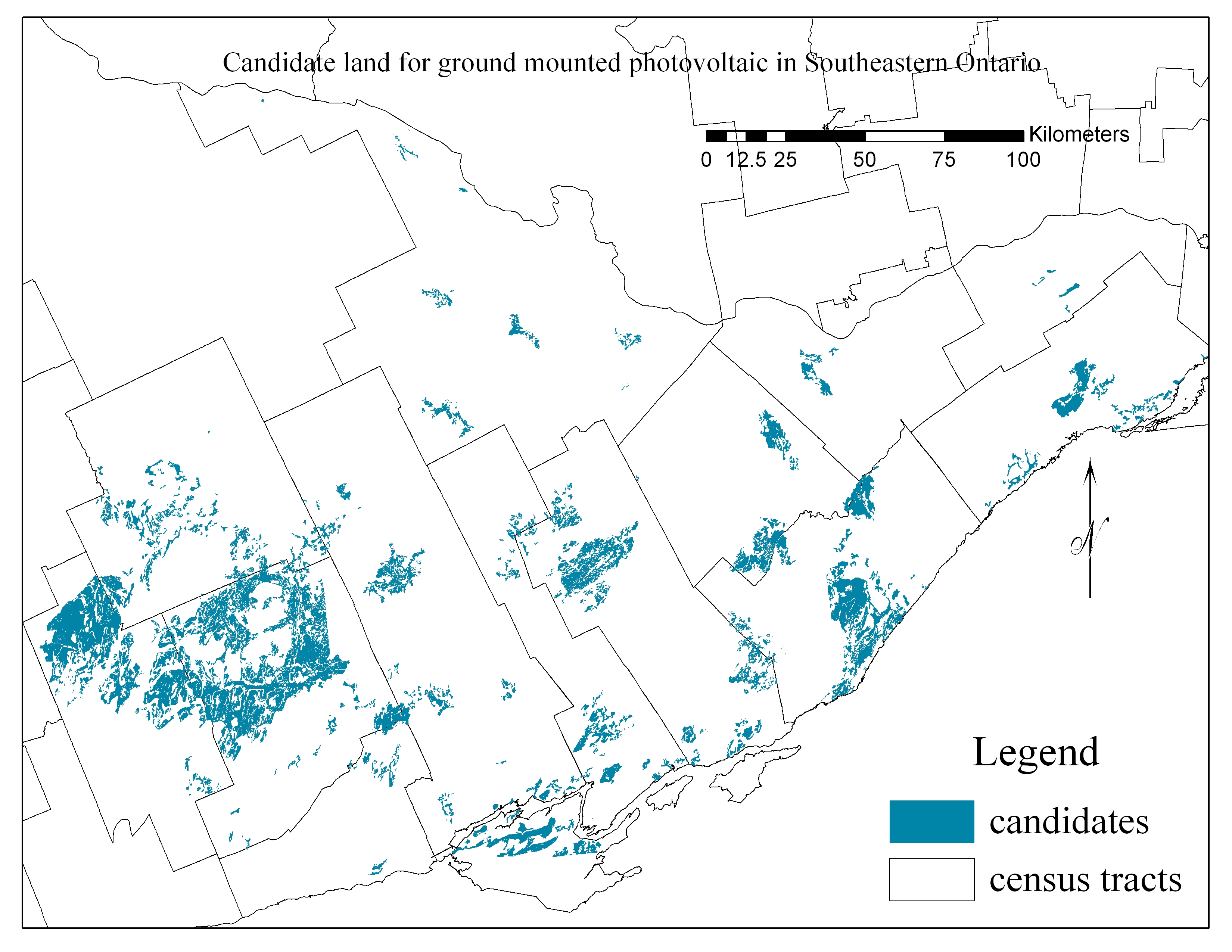
| 15:50, 26 August 2010 | Candidates for ground mounted solar PV farms in Southeastern Ontario.jpg (file) |  |
1.92 MB | 1 | |
| 23:10, 3 January 2010 | Me 2008.jpg (file) |  |
190 KB | 1 | |
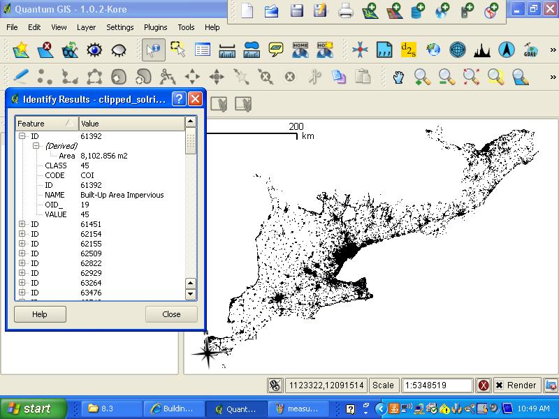
| 15:46, 26 May 2009 | Read off area.jpg (file) |  |
99 KB | to have qgis read off the area of the selected polygon | 1 |
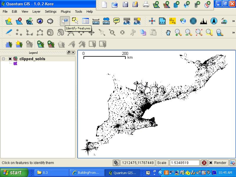
| 15:45, 26 May 2009 | Identify the polygon.jpg (file) |  |
87 KB | tell the program what feature you want to measure | 1 |
| 15:23, 25 May 2009 | Measure units.jpg (file) |  |
70 KB | To change to a proper unit | 1 |
| 15:22, 25 May 2009 | Maptips qgis.jpg (file) |  |
60 KB | to help with identify the necessary command in QGIS | 1 |
| 15:09, 25 May 2009 | Min area.jpg (file) |  |
59 KB | to avoid small areas to be filtered out | 1 |
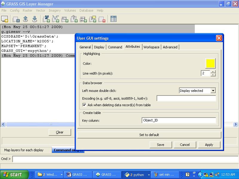
| 15:07, 25 May 2009 | Gui settings.jpg (file) |  |
82 KB | tips to keep track of the analysis process | 1 |
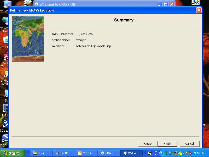
| 15:06, 25 May 2009 | Step 6.jpg (file) |  |
52 KB | to match the projections of the location and the input files | 1 |
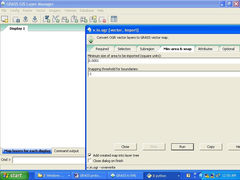
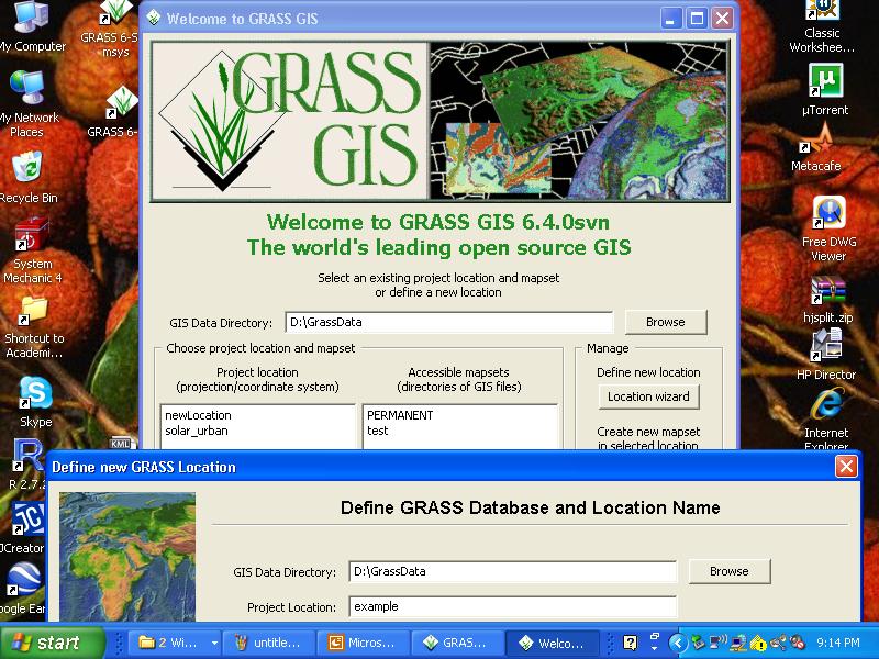
| 15:02, 25 May 2009 | Step 5.jpg (file) |  |
118 KB | to define a new location and a mapset in GRASS | 1 |
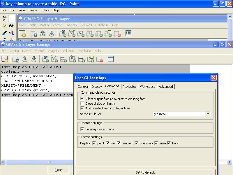
| 14:58, 25 May 2009 | Key column.jpg (file) |  |
81 KB | To set a key column in order for a new table to be created in GRASS | 1 |
| 14:55, 25 May 2009 | Step 4.jpg (file) |  |
111 KB | From .kml to .shp | 1 |
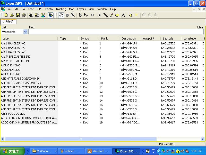
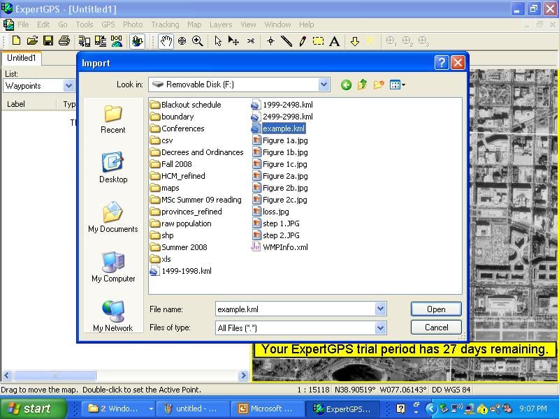
| 14:52, 25 May 2009 | Step 3.jpg (file) |  |
105 KB | a .kml can be generated to be imported into ExpertGPS | 1 |
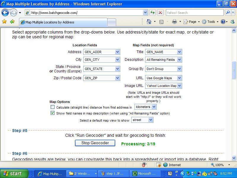
| 14:48, 25 May 2009 | Step 2.jpg (file) |  |
91 KB | to validate your data in www.batchgeocode.com | 1 |
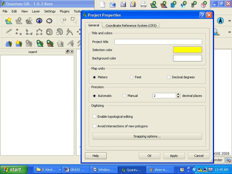
| 14:07, 25 May 2009 | Measurement units in QGIS.JPG (file) |  |
70 KB | 1 |