No higher resolution available.
Screen_Shot_2013-05-21_at_11.58.46_PM.png (594 × 444 pixels, file size: 381 KB, MIME type: image/png)
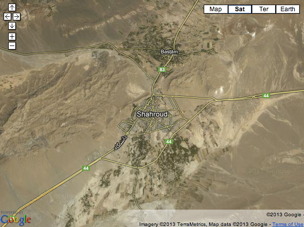
Screenshot of Iranian map showing the roads that already constructed in the region where the Jangal-e Arb lies.
File history
Click on a date/time to view the file as it appeared at that time.
| Date/Time | Thumbnail | Dimensions | User | Comment | |
|---|---|---|---|---|---|
| current | 07:00, 22 May 2013 | | 594 × 444 (381 KB) | KTNaderi (talk | contribs) | Screenshot of Iranian map showing the roads that already constructed in the region where the Jangal-e Arb lies. |
You cannot overwrite this file.
File usage
The following page uses this file: