Size of this preview: 800 × 566 pixels. Other resolutions: 2,560 × 1,810 pixels | 3,507 × 2,480 pixels.
Original file (3,507 × 2,480 pixels, file size: 3.26 MB, MIME type: image/png)
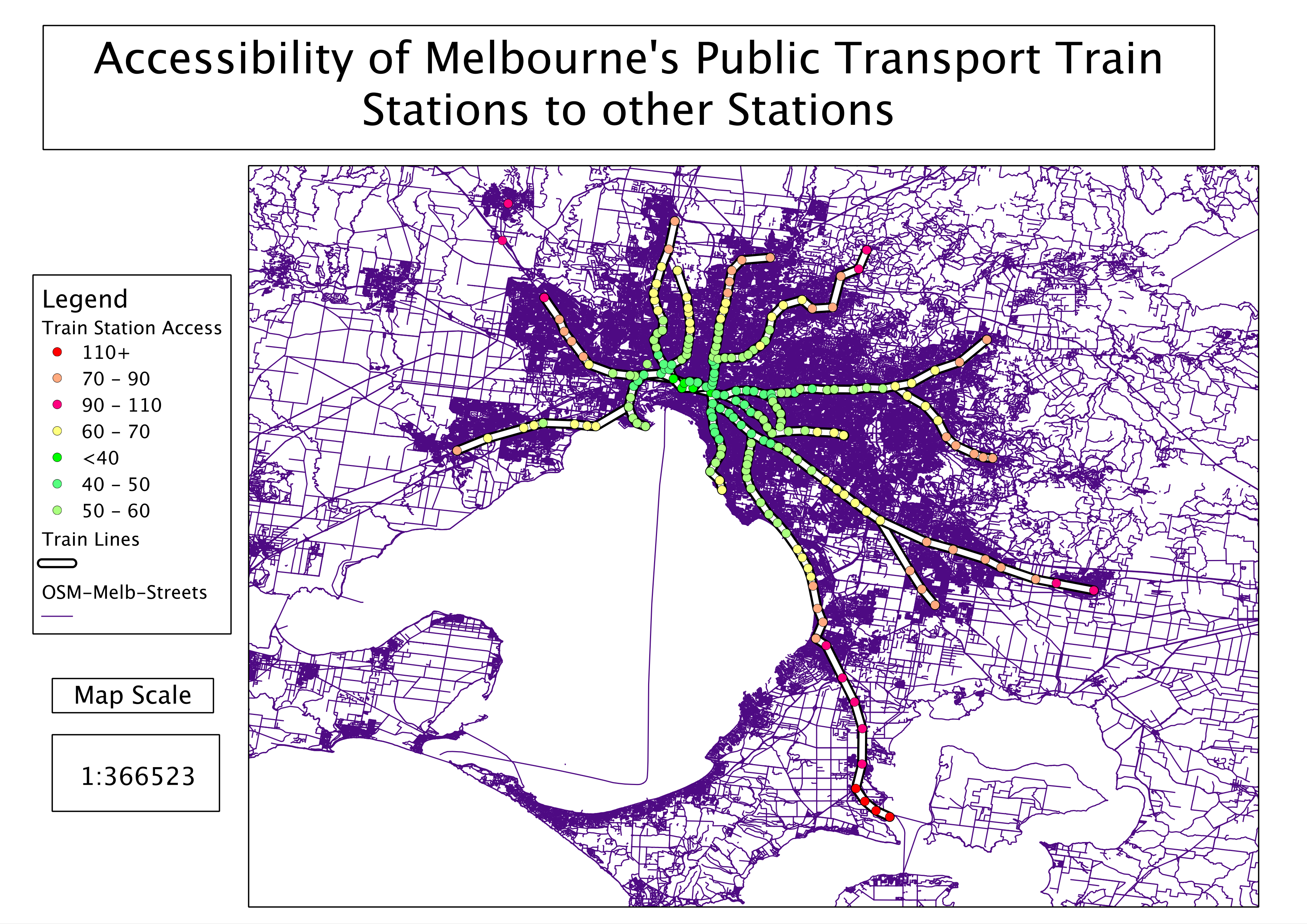
A visualisation of accessibility to Melbourne's train stations from other train stations - created using OpenTripPlanner and QGIS.
File history
Click on a date/time to view the file as it appeared at that time.
| Date/Time | Thumbnail | Dimensions | User | Comment | |
|---|---|---|---|---|---|
| current | 20:25, 28 August 2013 | | 3,507 × 2,480 (3.26 MB) | PatSunter (talk | contribs) | A visualisation of accessibility to Melbourne's train stations from other train stations - created using OpenTripPlanner and QGIS. |
You cannot overwrite this file.
File usage
The following page uses this file: